Present-day Fayetteville, AL, is located in Talladega County.


|
|
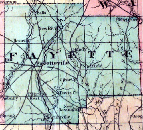
1870 Map This map of Fayette County was photographed from the collection of William Anderson
Musgrove (Monya Havekost's great-great-grandfather). The original
map, measuring 30" x 40", was published in 1870 by Colton's. Note that the
county seat — traditionally called Fayette Court House or Fayette — was
also known as Fayetteville for a period of time. Present-day Fayetteville, AL, is located in Talladega County. |
|
|
Township 15S ~ Range 10W Map of Fayette county Alabama showing township 15 south Range 10 west. THis came from the RootsWeb site. |
|
|
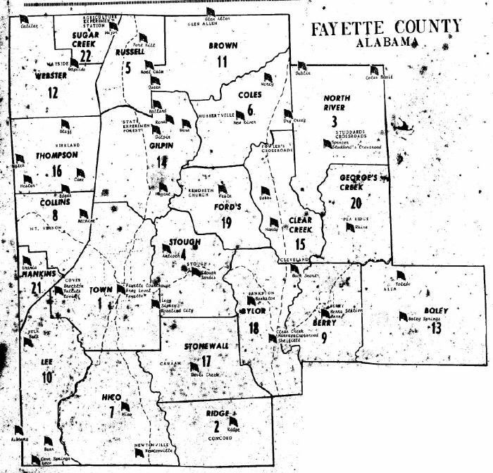
Voting districts Map of Fayette county Alabama showing voting districts. I am not sure what year this map reflects. |
|
|
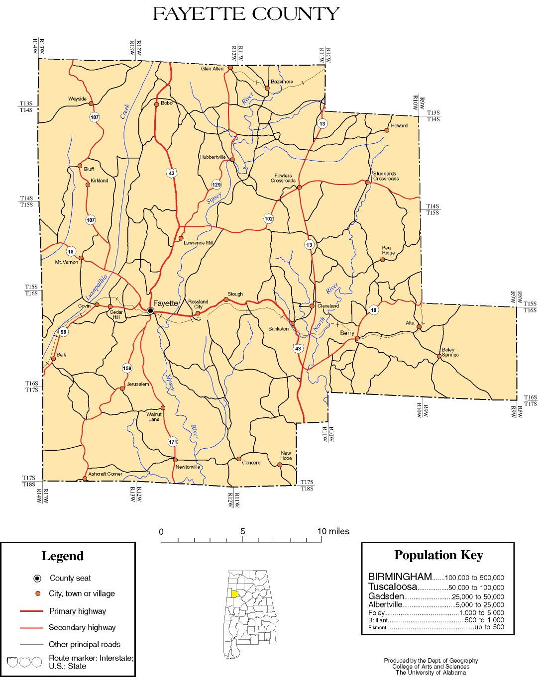
Color Fayette county map produced by University of Alabama Department of Geography |
|
|
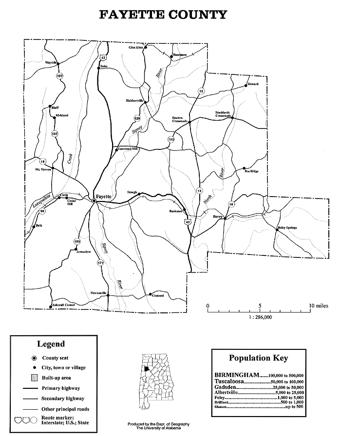
Black and white Fayette county map produced by University of Alabama Department of Geography |
|
|
Hand drawn map of Pottawatomie County (Oklahoma) showing the Indian Nations and territorial counties that bordered the area. |
|
|
Fayette county |